Blackdown Hills: the nature lover’s guide for 2026
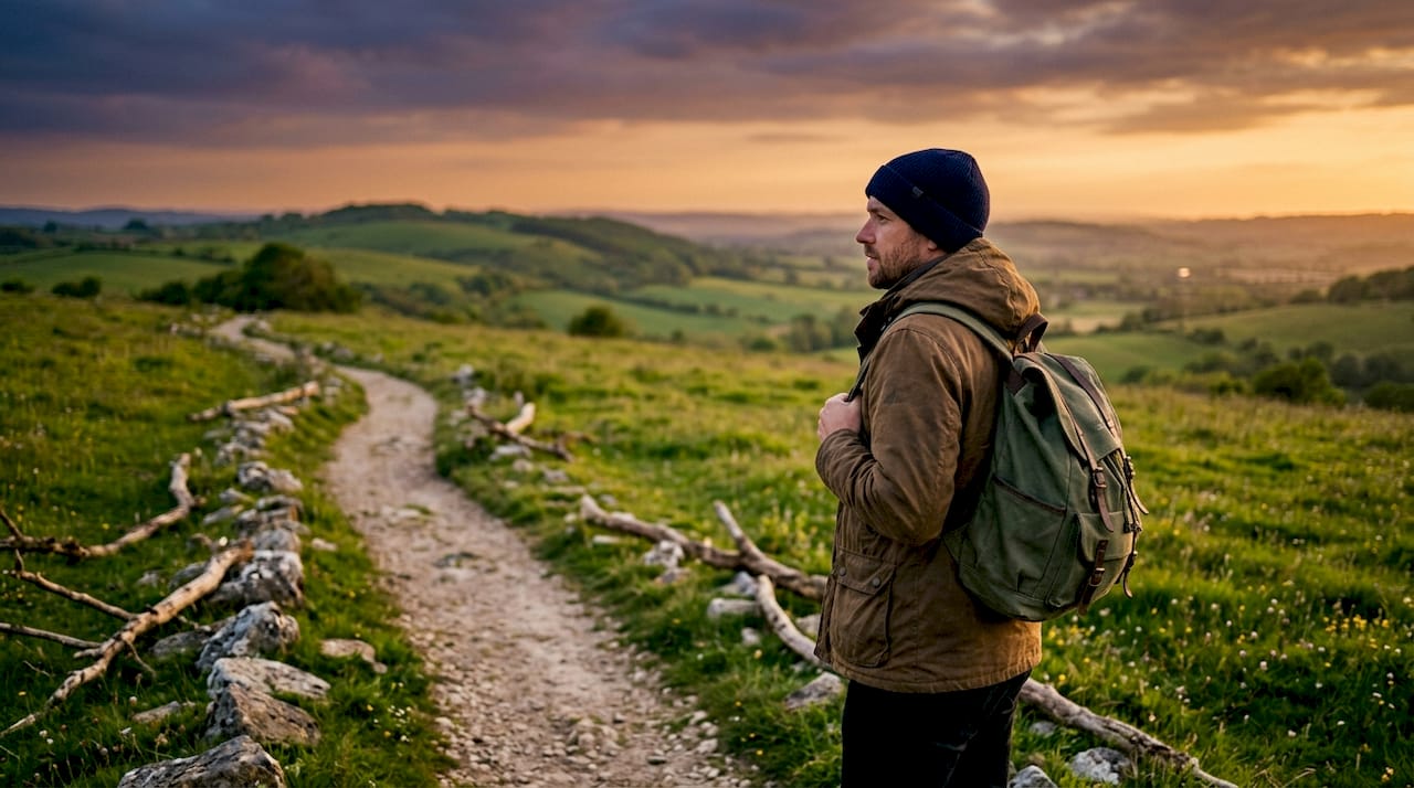
The Blackdown Hills National Landscape is defined as an Area of Outstanding Natural Beauty straddling the Devon and Somerset border, offering some of the quietest and most rewarding walking country in the South West. This is not a landscape that shouts for attention. It earns it through ancient hedgerows, hidden valleys, species-rich meadows, and a network of hiking trails that suit everyone from first-time walkers to seasoned long-distance hikers. Forestry England and the Blackdown Hills National Landscape authority both manage key sections of the area, while Defra’s Access for All programme has improved path surfaces and facilities across several sites. Whether you are after a gentle two-hour circuit or a full-day challenge, the Blackdown Hills deliver.
1. What are the top Blackdown Hills hiking trails?
The range of walking options here is genuinely impressive. Routes vary from short accessible loops to demanding 12-mile circuits, meaning there is a trail for every fitness level and available time.
Staple Hill is the most popular starting point for good reason. The summit sits at 315 metres and offers panoramic views across the Vale of Taunton Deane and beyond. The paths here are wide, well-maintained, and largely flat near the top, making it a strong choice for walkers who want big views without a punishing ascent.
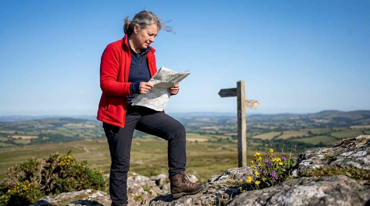
The 4-mile Stockland circular walk is the pick for moderate walkers. It takes under two hours to complete and passes through the village of Stockland, where The King’s Arms pub offers a well-earned stop. The route combines open farmland, quiet lanes, and hedgerow-lined paths that feel genuinely off the beaten track.
The 12-mile Stockland circular suits experienced walkers and horse riders. It covers more of the surrounding farmland and valley network, with longer stretches between landmarks. This route rewards those who want a full day out and a proper sense of the landscape’s scale.
Key features to consider before choosing your route:
- Staple Hill: accessible, panoramic views, suitable for wheelchairs and pushchairs on the easy access trail
- 4-mile Stockland circular: moderate, village pub stop, good for families and casual walkers
- 12-mile Stockland circular: challenging, full-day commitment, ideal for experienced hikers and riders
- General network: ancient lanes, hedgerow paths, and quiet valleys throughout
Pro Tip: Arrive before 10:00 AM on summer weekends to secure parking at trailheads. The narrow country lanes leading to popular start points fill quickly, and passing oncoming vehicles on single-track roads adds unnecessary stress to the day.
2. What wildlife and habitats can you find in the Blackdown Hills?
The Blackdown Hills support a patchwork of habitats that is rare in lowland England. Ancient hedgerows act as wildlife corridors, connecting woodland blocks, meadows, and stream valleys in a way that sustains species which have disappeared from more intensively farmed areas.
Traditional farming is the reason this biodiversity survives. Cattle grazing on unimproved grassland keeps meadow flowers in check and creates the open sward that ground-nesting birds and invertebrates need. Without this working landscape, the habitats would quickly change character.
The table below summarises the main habitat types and the species most commonly associated with each.
| Habitat | Common wildlife |
|---|---|
| Ancient hedgerows | Dormice, hedgehogs, yellowhammers |
| Woodland and copses | Bats (multiple species), tawny owls, wood warblers |
| Species-rich meadows | Butterflies, skylarks, grassland fungi |
| Streams and wet valleys | White-clawed crayfish, dippers, otters |
| Traditional farmland | Brown hares, barn owls, lapwings |
Bats are particularly well represented here. Several species use the hedgerow network as flight lines at dusk, making an evening walk in late summer one of the best ways to experience the landscape’s wildlife. White-clawed crayfish, Britain’s only native freshwater crayfish, survive in some of the cleaner stream systems, which is a strong indicator of water quality across the area.
The Blackdown Hills National Landscape authority manages conservation work across these habitats, working with landowners to maintain traditional practices that keep the area ecologically rich.
3. How accessible is the Blackdown Hills for all visitors?
Accessibility in the Blackdown Hills has improved considerably in recent years. Defra’s Access for All programme has funded path upgrades, surface improvements, and facility enhancements at several key sites, with the aim of meeting national all-ability standards.
The Staple Hill Easy Access Trail is the flagship example. It features wide, compacted paths and picnic benches, and is suitable for wheelchair users and pushchairs. The flat terrain near the summit means visitors with limited mobility can still reach a viewpoint with genuine drama.
The Sensory Trust has also contributed to inclusion work in the area. Their approach focuses on removing physical and sensory barriers, ensuring that visitors with visual impairments or other sensory needs can engage meaningfully with the landscape.
Key accessibility features across the area:
- Staple Hill Easy Access Trail: wide compacted surface, suitable for wheelchairs and pushchairs
- Dunkeswell Airfield area: flat, open ground with good sight lines
- Parking with level access at several trailheads
- Picnic benches at Staple Hill summit area
- Ongoing path audit programme under the Access for All framework
Pro Tip: Plan your visit on a weekday if possible. Weekend mornings bring more vehicles to the narrow approach lanes, and limited parking at accessible trailheads fills faster than most visitors expect.
4. What should visitors know about respecting the local environment?
The Blackdown Hills work as a landscape because farming and nature exist side by side. Visitors play a direct role in keeping that balance. Keeping dogs on leads near livestock is not optional. Sheep and cattle in these fields are working animals, and disturbance causes real harm to both the animals and the farmers who depend on them.
Sticking to marked paths protects the ancient hedgerows and field margins that took centuries to establish. Cutting corners across fields compacts soil and damages root systems that support the very species visitors come to see.
The area rewards a slower pace. The hidden valleys and quiet lanes are best appreciated on foot, without rushing between viewpoints. This is not a landscape designed for ticking off highlights. It is one for lingering in.
Practical points every visitor should follow:
- Keep dogs on leads near all livestock, year-round
- Stay on marked footpaths and bridleways
- Close all gates behind you
- Carry an Ordnance Survey paper map as GPS and mobile signals are unreliable in many valleys
- Time walks to finish before 2:00 PM if you plan to eat at a village pub, as lunch service closes early at places like The King’s Arms
The mobile signal issue is worth taking seriously. Several valleys sit in dead zones where neither maps nor emergency calls work reliably. An Ordnance Survey sheet covering East Devon and the Blackdown Hills costs very little and removes that risk entirely.
5. What are the best places to visit near Blackdown?
The Blackdown Hills sit within easy reach of several worthwhile destinations that complement a walking day. Honiton, just to the south, is a market town with independent shops, antique dealers, and good cafés. It makes a practical base for multi-day visits and has better parking than most of the rural trailheads.
Wellington in Somerset sits on the northern edge of the National Landscape and offers a similar mix of independent traders and a useful supermarket for stocking up before a day on the hills. The Wellington Monument, a tall triangular obelisk on the ridge above the town, is visible from many points in the landscape and worth the short detour to visit up close.
For a broader Devon outdoor adventure, Dartmoor lies roughly 30 miles to the west and offers a very different character. The contrast between the intimate, hedged lanes of the Blackdowns and the open moorland of Dartmoor makes for a rewarding two-destination trip.
Key takeaways
The Blackdown Hills National Landscape rewards visitors who prepare well, move slowly, and respect the working countryside that shapes its character.
| Point | Details |
|---|---|
| Trail variety suits all levels | Routes range from the accessible Staple Hill trail to the demanding 12-mile Stockland circular. |
| Wildlife depends on traditional farming | Ancient hedgerows and unimproved meadows support dormice, bats, and white-clawed crayfish. |
| Accessibility has improved significantly | Defra’s Access for All programme and the Sensory Trust have upgraded paths and facilities at key sites. |
| Carry a paper map | GPS and mobile signals are unreliable in many valleys; an OS map is a practical necessity. |
| Time pub stops carefully | Village pubs like The King’s Arms close lunch service around 2:00–2:30 PM, so plan your route accordingly. |
Why the Blackdown Hills surprised me
I have walked a lot of Devon, and I will be honest: I underestimated the Blackdown Hills for years. I assumed that without a dramatic coastline or open moorland, the area would feel like a consolation prize. I was wrong.
What struck me first was the silence. Not the absence of sound, but the quality of it. Wind through hedgerows, a buzzard overhead, the occasional tractor in the distance. The Blackdowns have a texture that busier landscapes lose. You notice things here that you walk straight past elsewhere.
My practical advice is to resist the urge to plan too much. Pick one trail, leave early, and let the route take longer than expected. The 4-mile Stockland circular looks modest on paper, but factor in stopping to watch a barn owl quarter a field margin at dusk and you will not regret the extra hour.
The pub timing point is real and not a minor detail. I have finished a walk at 2:45 PM and found The King’s Arms kitchen closed. It changes the whole end of the day. Build your route backwards from lunch if food matters to you.
One thing I would push back on: the idea that the Blackdowns are only for gentle walkers. The 12-mile circuit is a serious day out. The terrain is not dramatic, but the cumulative distance across uneven ground, with limited shade in summer, demands proper footwear and preparation. Treat it with the same respect you would give a moorland route.
— Mark
A perfect end to a Blackdown Hills day
After a long walk through the hills, the appetite for good food and a proper rest is real. Thedevondrop features some of Devon’s finest local experiences, from a 3-course dinner for two at one of the county’s top-rated pubs to a wild spa day at Blackleigh Farm, which sits close enough to the hills to feel like a natural continuation of the day.

These are the kinds of experiences that turn a good walk into a memorable trip. Whether you want to celebrate a long day on the trails with a proper meal and a bottle of wine, or unwind with a spa treatment in a rural setting, Thedevondrop has options that fit the mood of a Blackdown Hills visit perfectly.
FAQ
What is the Blackdown Hills National Landscape?
The Blackdown Hills National Landscape is a designated Area of Outstanding Natural Beauty on the Devon and Somerset border, managed to protect its ancient hedgerows, traditional farmland, and diverse wildlife habitats.
How long does the Stockland circular walk take?
The 4-mile Stockland circular walk takes under two hours at a comfortable pace. The 12-mile version is a full-day route suited to experienced walkers and horse riders.
Are the Blackdown Hills accessible for wheelchair users?
Yes. The Staple Hill Easy Access Trail features wide, compacted paths and picnic benches, and is suitable for wheelchair users and pushchairs, funded through Defra’s Access for All programme.
Do I need a map for Blackdown Hills walks?
Carrying an Ordnance Survey paper map is strongly advisable. GPS and mobile signals are unreliable in several valleys, making physical navigation essential for safety.
What wildlife can I see in the Blackdown Hills?
The area supports bats, dormice, white-clawed crayfish, butterflies, barn owls, and brown hares, all sustained by the ancient hedgerows and traditional farming practices that define the landscape.